
- This event has passed.
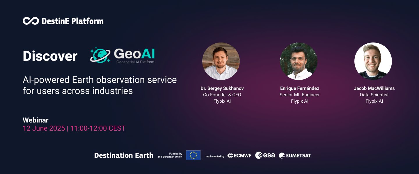
Discover GeoAI: AI-powered Earth observation service for users across industries
June 12, 2025 @ 11:00 am - 12:00 pm CEST
GeoAI is a powerful geospatial AI service available on the DestinE PlatformSelf-standing DestinE system component, interfacing with the More that revolutionises how businesses and individuals harness the power of Artificial IntelligenceArtificial Intelligence is the capacity of an algorithm to a More for Earth observation use cases. It allows users with no prior AI or geospatial expertise to easily design and apply their own custom AI-based workflows and to share their projects for collaborative work.
The service delivers insights from satellite imagery, supporting various resolutions, image types and sensors, making advanced EO analytics available to all.
This webinar demonstrated how GeoAI supports decision-making across sectors through real-world examples, including forestry, wildfire damage detection, and urban development monitoring. Experts from the service provider FlyPix AI lead the session and answered participants’ questions in a dedicated Q&A.
Participants can provide their feedback through this form.
Agenda
11:00 – 11:05 | Welcome and introduction – Diego Domenici, Trust-IT Services
11:05 – 11:10 | Brief introduction to the DestinE PlatformSelf-standing DestinE system component, interfacing with the More – Barbara Scarda, Serco
11:10 – 11:45 | GeoAI
- Overview of the service – Sergey Sukhanov, FlyPix AI (5 mins)
- Use case 1: Forestry – Enrique Fernández, FlyPix AI (15 mins)
- Use case 2: Wildfire damage detection – Jacob MacWilliams, FlyPix AI (10 mins)
- Use case 3: Urban development monitoring – Enrique Fernández, FlyPix AI (5 mins)
11:45 – 11:55 | Q&A session
11:55 – 12:00 | Conclusion