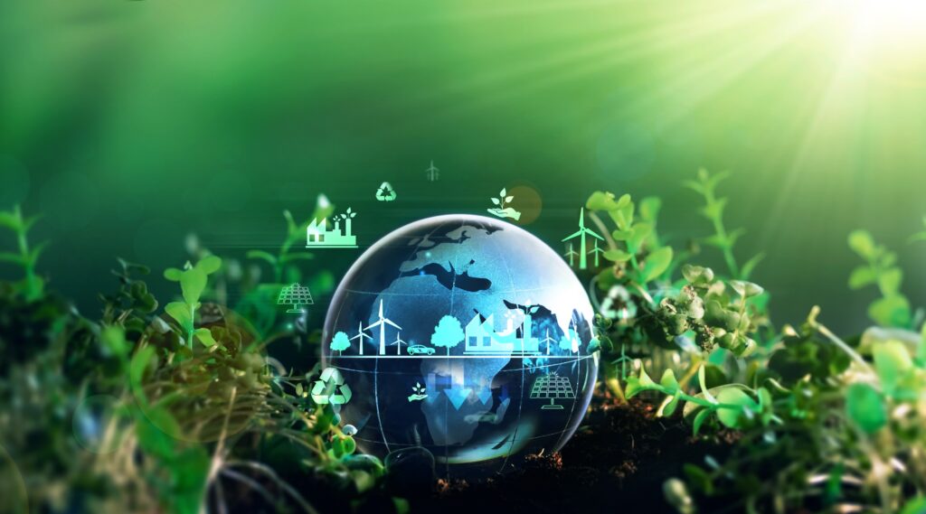
Use Cases Catalogue
Discover the first set of selected End-to-End Use Cases in the DestinE Catalogue!
Each Use Case demonstrates the capabilities of the DestinE infrastructure to provide actionable information and decision support to its end users.
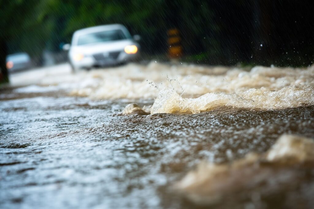
Extreme WeatherFlooding
Adaptation Modelling Framework
Developing an adaptation modelling framework supporting the EU Adaptation Strategy goals and enabling easier access to advanced hazard and impact models for decision-makers.
Procured by:

Extreme WeatherUrban Heat
Adaptation Modelling Framework for Heat Stress Exposure
Developing a modelling framework that will facilitate the formulation of adaptation measures addressing heat waves.
Procured by:

Urban Heat
Addressing Urban Heat Island Effect
Providing high-resolution urban heat maps for cities across Europe to underpin urban climate adaptation measures.
Procured by:

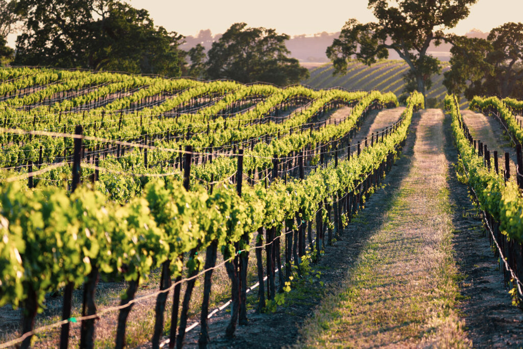
AgricultureClimate AdaptionRisk management
Agroclim: FAIR Workflows for the Crop Wild Relatives Digital Twin
Providing a FAIR-enabled digital twin for crop wild relatives, the project empowers researchers to identify resilient plant traits, addressing climate challenges and advancing sustainable agriculture.
Procured by:

Air Quality
Air Quality Forecasting Analysis System
Exploring ECMWF’s digital twins' applications for air quality analysis and forecasts.
Procured by:
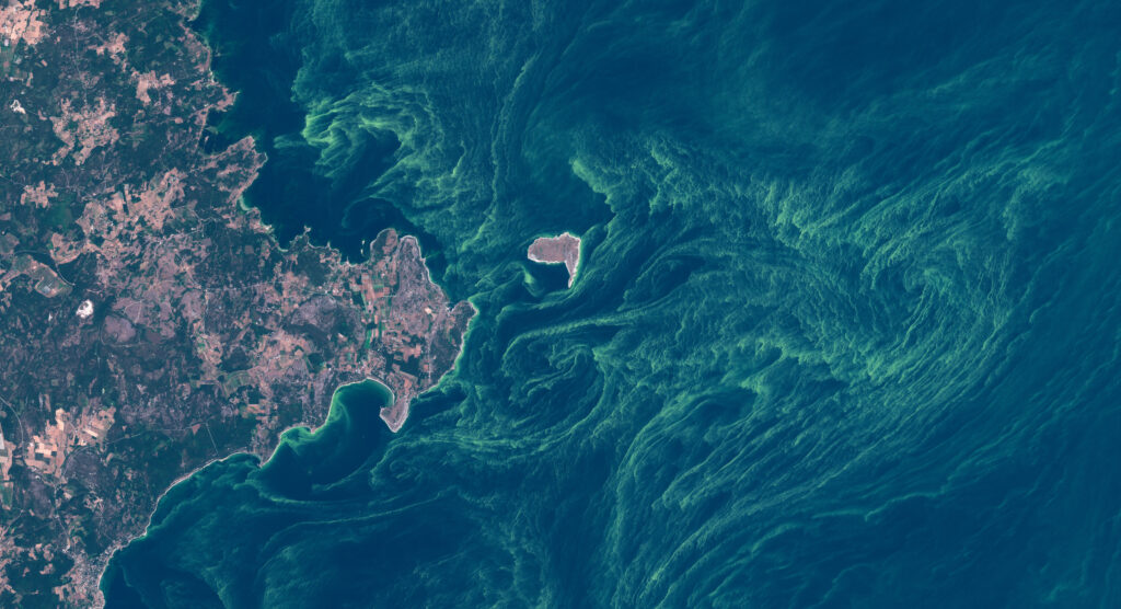
HealthHydrologyRisk management
Algae Storm
Addressing the challenge of cyanobacterial blooms, SMHI integrates AI with Sentinel-3 satellite data to develop early warning systems for the Baltic Sea.
Procured by:
EnergyExtreme WeatherHydrology
Aquatemp: Freshwater Temperature Forecasts for Industrial Planning
Developing a machine learning demonstrator that translates high resolution climate projections from the Destination Earth Climate Digital Twin into actionable freshwater temperature forecasts for industrial planning.
Procured by:
Hydrology
Changes in the Water Cycle
Providing global estimates of river runoff and freshwater availability to support climate adaptation measures.
Procured by:
Urban planning
CITYNEXUS: A novel urban DestinE Platform application
Designing an innovative urban application for the DestinE Platform to assess the potential impacts of urban development decisions.
Procured by:

Hydrology
Danube Delta Water Reservoir Monitoring
Architect a comprehensive and precise analysis based on the DestinE Data Lake to inform conservation efforts of the Danube Delta, one of Europe's most biodiverse regions
Procured by:

Polar Voyage Planning
DESIDE
Supporting policy and decision-makers in decreasing pollution and optimising routes in polar regions.
Procured by:
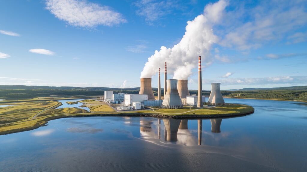
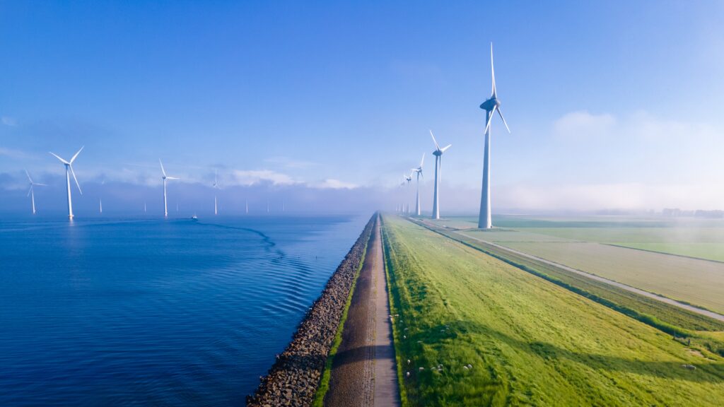
Energy
Destination Renewable Energy (DRE)
Developing the Hybrid Renewable Energy Forecasting System (HYREF) demonstrator to support simulation and projection services that are part of the DRE digital ecosystem.
Procured by:

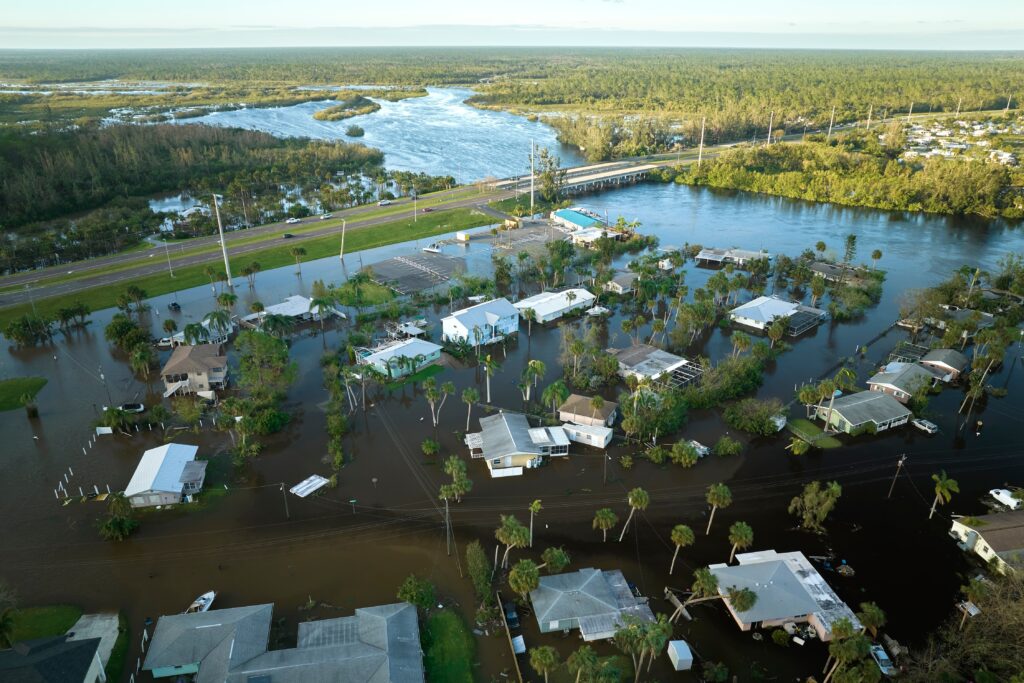
Climate AdaptionDisaster assessmentExtreme WeatherFloodingML DemonstratorWeather
DestinE ML demonstrator – Machine learning for flood nowcasting
A machine learning (ML) Demonstrator will be developed to assist optimising power flow and ensuring resource adequacy across European electricity grids.
Procured by:
Disaster assessmentExtreme WeatherFloodingMaritime OptimisationPilot Service
DestinE Pilot Service: Global Tide & Surge Forecast, Compound Flood Forecasting & Ship‑Route Optimisation
Enable three pilot services of global tide and surge forecasting, compound flood forecasting and early warning (Philippines), and global ship-route optimisation, integrates high‑resolution Weather-Induced Extremes Digital Twin forecast with DestinE...
Procured by:
Flooding
Disaster Risk Mitigation & Climate Adaptation
Providing higher-resolution meteorological forecasts that can help address the challenges caused by compound flooding.
Procured by:

Air Quality
Dust in Barcelona
Developing a modeling framework to support the monitoring of the pollutants in large urban areas and produce short-term forecasts for mitigating the health risks.
Procured by:

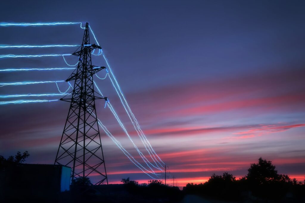
Energy
Energy in Catalonia
Providing a scalable machine-learning solution, the project enhances electricity demand prediction to support resilient and sustainable energy networks in a changing climate.
Procured by:
Climate AdaptionDisaster assessmentFloodingPilot ServiceRisk management
Flood Signals Pilot Service: High-Resolution Precipitation-to-Flood Signals
The High-Resolution Early Precipitation-to-Flood Signals Pilot Service is part of the Destination Earth initiative. Its primary objective is to provide early and reliable flood forecasts and indicators, including streamflow data...
Procured by:

Forestry
Forest Biodiversity
Understanding the different aspects of how forest management can affect our natural environment in the changing climate.
Procured by:

Fishery Management
Global Fish Tracking System (GFTS)
Helping to obtain accurate insights into fish populations for data-driven conservation policies.
Procured by:

Hydrology
Global Freshwater Availability
The HydroLand application is developed to provide high-resolution estimates for terrestrial freshwater availability, from global-to-local scale.
Procured by:

Energy
Improved Energy System Modelling
Providing tools and guidance to support the European Transmission and Distribution System Operators in improving the energy system modelling.
Procured by:
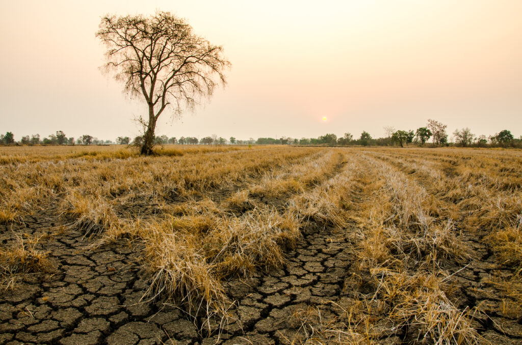
Disaster assessmentDroughtRisk management
Italy Drought 2022
Supporting a more accurate assessment of the impact of ongoing droughts and identification of vulnerable areas.
Procured by:

EnergyML Demonstrator
Machine Learning Demonstrator – Energy Systems
A machine learning (ML) Demonstrator will be developed to assist optimising power flow and ensuring resource adequacy across European electricity grids. The ML application aims for enhancing the speed, interactivity...
Procured by:

AgricultureData ManagementDisaster assessmentExtreme WeatherML DemonstratorWeather
ML Demonstrator –Enhancing Data Usability with AI-based Multi-Model Data Fusion for DestinE
This Machine Learning Demonstrator implements an AI-based system (SynCast) that uses forecasts from multiple numerical weather prediction models into a single, optimised product. By leveraging the DestinE Digital Twin infrastructure...
Procured by:

Urban Heat
More Resilient City Planning
Providing a heat stress index to allow urban planners to have a better understanding of the best adaptation practices against extreme temperatures in urban environments.
Procured by:
Energy
Onshore & Offshore Wind Energy Information
Providing information on key global indicators relevant to the wind farm industry at various temporal and spatial scales.
Procured by:

FloodingRisk management
Pakistan Flood 2022
Enabling enhanced flood risk management for more accurate and targeted mitigation measures.
Procured by:
EnergyPilot ServiceRisk managementUrban planning
Pilot Service Dynamic Line Rating
Extracting high spatial and temporal resolution data from the Weather-Induced Extremes Digital Twin (Extremes DT) to improve the Dynamic Line Rating (DLR) energy transmission applications.
Procured by:

Fishery ManagementHydrologyPilot ServiceRisk managementWeather
Pilot Service Marine Safety for the Energy Industry
This Pilot Services uses the Weather-Induced Extremes Digital Twin output to force a state-of-the art WaveWatch III wave model and novel Marine Icing model for the Norwegian COast Guard (MINCOG)...
Procured by:

Climate AdaptionExtreme WeatherPilot Service
Pilot Service Urban Heat
The Urban Heat Pilot Service leverages data from DestinE’s Climate Change Adaptation digital twin (Climate DT) to deliver neighbourhood-scale urban heat insights — down to 100–200 m resolution — for...
Procured by:

Extreme Weather
Simulating the Future of Extreme Events
Developing a catalogue of simulated extreme events with information from the high-resolution Climate DT data stream.
Procured by:
AgricultureFood Security
Supporting European Farmers’ Decisions in Perennial Agriculture
Helping European farmers adapt perennial crops to climate change by providing hyper-local climate risk intelligence.
Procured by:

Forestry
Sustainable Forest Management
Providing harvestability maps and information on climate change outlook for Europe to ensure a sustainable forest management.
Procured by:

FloodingRisk managementUrban Heat
UrbanSquare
Supporting decision makers in assessing climate related challenges and their impact on urban areas.
Procured by:
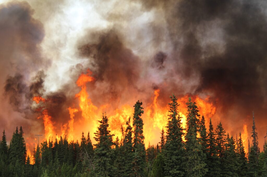
ForestryWildfires
Wildfires Evolution
Providing a refined view of wildfire risks in a changing climate.
Procured by: